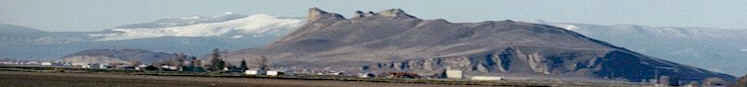
Our Klamath Basin Water Crisis
Upholding rural Americans' rights to grow food,
own property, and caretake our wildlife and natural resources.
Our Klamath Basin
Water Crisis
Upholding rural Americans' rights to grow food,
own property, and caretake our wildlife and natural resources.
|
Lakes,
rivers
May 26, 2004, Herald and
News
Clear Lake - Clear Lake's surface elevation was
estimated Monday at 4,525.87 feet above sea level,
with storage at 123,360 acre-feet, down 13,980
acre-feet from a year ago. River flow Link River 2004 2003 May 19 853 986 May 21 675 851 May 23 595 1,060 A Canal May 19 550 295 May 21 555 415 May 23 550 565 Klamath River at Keno
Dam May 19 775 1,305 May 21 652 1,055 May 23 659 1,057 Klamath River at Iron
Gate Dam May 19 1,169 1,776 May 21 1,150 1,767 May 23 1,156 1,767 Net inflow to Upper
Klamath Lake
|
Home
Page Updated: Thursday May 07, 2009 09:14 AM Pacific
Copyright © klamathbasincrisis.org, 2004, All Rights Reserved
