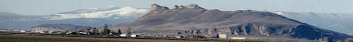
Our Klamath Basin Water Crisis
Upholding rural Americans' rights to grow food,
own property, and caretake our wildlife and natural resources.
Our Klamath Basin
Water Crisis
Upholding rural Americans' rights to grow food,
own property, and caretake our wildlife and natural resources.
|
Dept of the Interior, Bureau of Reclamation Water Year Type (Year Types are set according to total inflow and do not reflect current conditions) Upper Klamath Lake: Above Average (This is the highest-level classification for the lake.) Klamath River: Wet (This is the highest flow classification for the river.) Additional Information Snowpack Basin-wide Percent of Average: 0 Upper Klamath Lake April-September 30th Stream Flow Forecast: 820,000 acre-feet at 50-percent exceedance Klamath River Flow Forecast: 793,000 acre-feet at 70-percent exceedance Upper Klamath Lake Level: 4,138.62 feet Upper Klamath Lake Inflow 7-day Average: 1,275 cubic feet per second (cfs) Link River Releases: 510 cfs Keno Releases: 975 cfs Iron Gate Dam Releases: 1,310 cfs Requirement October through February for Wet Year Type in Biological Opinion: 1,300 cfs Shasta River Flow: 163 cfs Scott River Flow: 72 cfs Trinity River Basin – Extremely Wet Water Year (This year classification was set according to total inflow and does not reflect current conditions.) Trinity River Releases – below Lewiston Dam: 449 cfs Trinity River Flow – at Hoopa Gauge: 832 cfs This document is updated bi-weekly. Please circulate freely. For more information, please visit: http://www.usbr.gov/mp/kbao/pilot_water_bank/index.html Please contact: Paul Gregory, Klamath Basin Area Office, 541-883 6935, pgregory@mp.usbr.gov |
Page Updated: Thursday May 07, 2009 09:14 AM Pacific
Copyright © klamathbasincrisis.org, 2006, All Rights Reserved